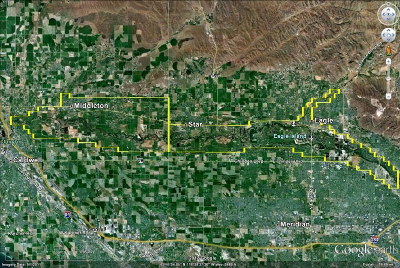
FCD10 activities aim to protect life and property along the Boise River and Dry Creek, a major tributary to the river within the District. The District’s boundaries extend from near the Plantation Golf Course in Boise, to just upstream of the Steel Bridge in Caldwell.
FCD10 has compiled a Book of Maps (2015) that provide a current aerial base (circa 2014) along with location of the floodway and floodplain within the District.